
Walk a Prattville Street Directory
A sound Prattville street search starts with one complete address. The city name alone is not enough. Prattville is the Autauga County seat, yet part of the incorporated city extends into Elmore County. Confirm the county before choosing a tax roll, deed room, or probate office. In Autauga County, the appraisal portal supplies the current parcel clue and the map shows the land around it. Those two sources lead to deeds, plats, and other address records.
Work from the physical place toward named records. Ownership and occupancy are separate facts. A person on the tax card may receive mail elsewhere, and someone who lives at the site may never appear on the deed. The address trail becomes stronger when the same location, legal description, and name agree across independent sources.
- Verify the standardized address and determine whether the parcel lies in Autauga or Elmore County.
- Search the Autauga Citizen Access portal by address, then save the parcel, key number, situs, owner spelling, and legal description.
- Open the parcel map, click the subject lot, and inspect nearby parcels and relevant district layers.
- Take the owner and legal description to the correct Probate recording office and work through deeds and plats.
- Use voter verification only for a known person, then consult directories, census records, and maps for earlier street evidence.
That order prevents a common error: beginning with a name and attaching every similar record to one Prattville household. It also preserves the legal description when street wording changes. For a whole named road, repeat the parcel and deed steps one lot at a time rather than assuming that any office maintains a ready-made resident roster.
Search Prattville Property Records
The Autauga Citizen Access Property Search is the remote starting point for an Autauga-side address. The Alabama Department of Revenue identifies it as the county appraisal and assessment portal. Its verified modes support owner name, street address, parcel number, and key number. A candidate parcel can show the taxable owner, mailing and situs addresses, legal description, values, classification, building details, and a map link. Historical coverage and the live interface labels were not fully published, so treat it as a current roll.
| Search control | Input | How it helps | Known limit |
|---|---|---|---|
| Owner Name | Person, trust, or entity | Finds current taxable ownership | Does not prove occupancy |
| Address | Street number and name | Returns candidate parcels by location | Partial-match behavior is unverified |
| Parcel Number | Exact land identifier | Holds the land reference steady | Must be copied with care |
| Key Number | County property key | Opens a known appraisal record | Applies to the county system |
The official Alabama county appraisal directory shows where to reach the Autauga system. Its captured page illustrates the state-to-county route:
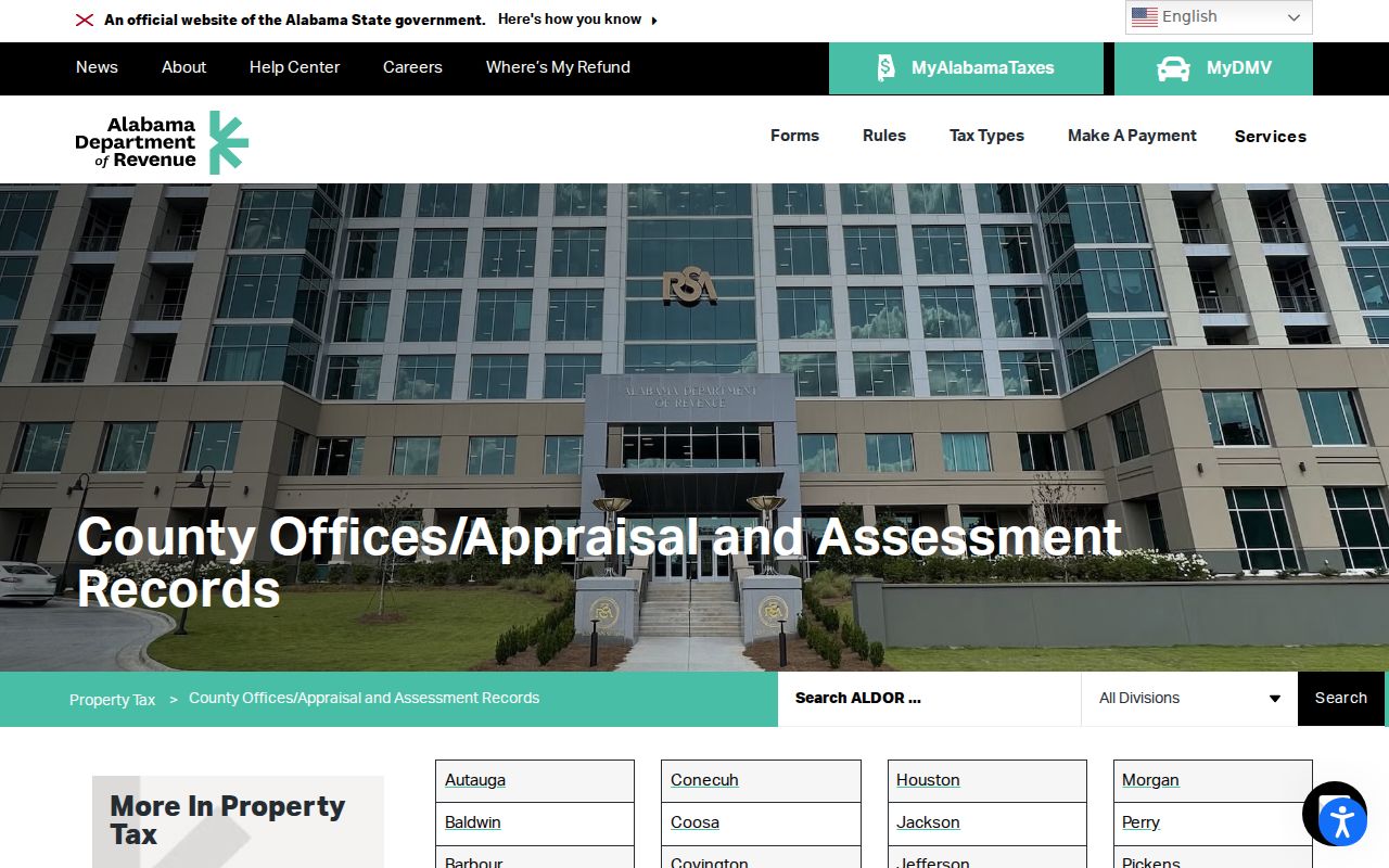
This source is useful when a saved portal link changes, and it confirms that the appraisal search belongs to the public county property system.
Map Prattville Streets by Parcel
The Autauga County Alabama Parcel Viewer turns a street name into visible parcel shapes. Zoom until individual lots appear, click the subject polygon, record its identifier, and then compare that result with the appraisal card. Map browsing is especially useful when one street contains vacant land, a large commercial tract, and several small home lots. The viewer shows geometry and adjacency. It does not identify every person who lives inside a shape.
The ArcGIS item captured for a Prattville by-address search confirms the official county map resource:
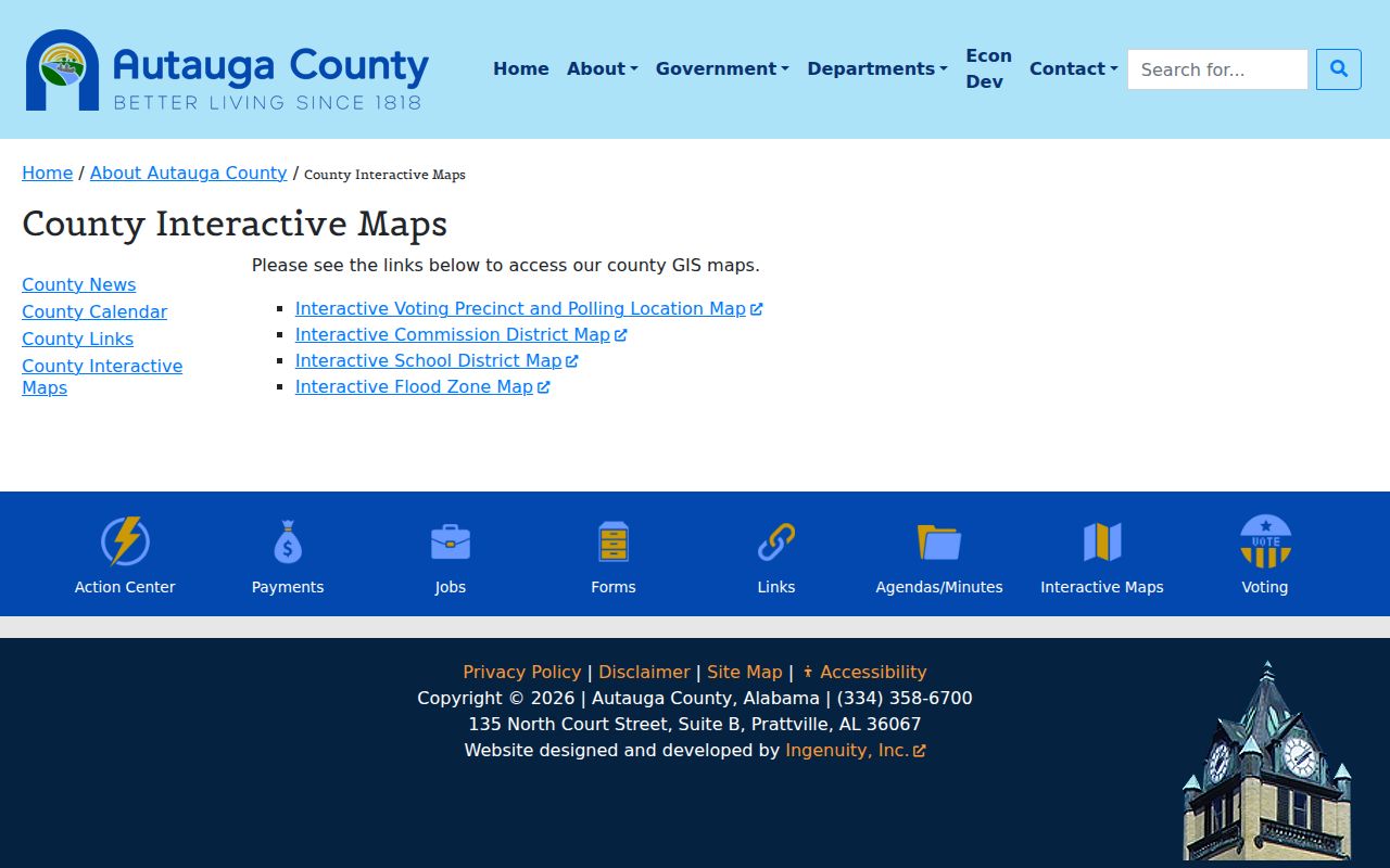
Separate Autauga thematic maps add voting precinct, commission district, school district, and flood context. The captured county map menu shows which public layers are offered:
Exact controls and layers inside the live parcel app were not fully verified. Use visible, named tools only. Do not describe a radius search, ZIP overlay, or hidden resident feature unless the application itself displays it.
Note: A parcel map answers where land lies; the appraisal card and recorded instruments answer who holds taxable ownership and title.
Prattville Address Records Compared
No single Prattville record can carry the whole address chain. The sources below have distinct keys and limits. Citizen Access is searched by address, but Probate deeds are indexed chiefly by grantor and grantee. A city permit is keyed to a project address. Alabama's public voter tool verifies one known voter instead of producing a street-wide list.
| Address source | Record keeper | Street evidence | Access route |
|---|---|---|---|
| Property roll | Autauga Revenue Commissioner | Owner, situs, mail address, parcel, land facts | Free Citizen Access search |
| Parcel mapping | Autauga County GIS | Lot shape, adjacency, district context | Free viewer and map menu |
| Deeds and plats | Autauga Judge of Probate | Transfer parties, title path, legal land description | Self-search in Records Room |
| City permit file | Prattville Planning and Building | Project site, owner or applicant, work dates | Known form or focused records request |
| Voter information | Alabama SOS and county registrars | One verified voter, precinct, and polling information | Person-keyed lookup; list is separate |
| Historic sources | ADAH, Library of Congress, NARA | Named entries, census households, old building context | Finding aid, images, repository research |
The full chain is address to parcel, parcel to legal description, owner to deed, and deed to prior party. Directory and census sources then test occupancy for earlier periods. If an Autauga search fails, check the county boundary before concluding there is no record. An east-side Prattville address may belong in Elmore County's property and probate systems.
Read Prattville Street Address Types
Several kinds of address appear in a Prattville by-address search. Mixing them can attach the right name to the wrong place. The situs address is the physical location used on the tax record. The mailing address is where tax notices go, which may be a post office box or a different city. The legal description identifies the land through subdivision lot and block, a referenced plat, or metes and bounds. A deed usually depends on that land description more than the current street label.
- Parcel
- A mapped unit of land assigned a county identifier for appraisal and tax work.
- Situs address
- The assessed physical location of the parcel, distinct from an owner's correspondence address.
- Plat
- A recorded drawing that lays out subdivision lots, blocks, easements, and dedicated ways.
- Criss-cross directory
- A directory arranged by street and house number rather than only by a person's surname.
Prattville's industrial core around Autauga Creek may appear in old deeds through roads, mills, neighboring land, acreage, or metes and bounds. Newer subdivisions near the east and southeast corridors are more likely to use lot-and-block references. No verified citywide street-renumbering ordinance was found, so a change in number must be proved from the deeds, plats, maps, permits, or dated directories rather than assumed.
Build Prattville Deed Chains
The Autauga Probate Recording Department holds deeds, mortgages, liens, judgments, plats, powers of attorney, incorporations, and related land instruments. It does not offer a public web deed search. Researchers must search in person at 176 West Fifth Street. Staff can help with Records Room equipment, but the office states that book and page references will not be supplied by telephone.
A street-wide title review starts with a parcel list from GIS and appraisal. At the Records Room, search each current owner as grantee, find the acquisition deed, and confirm the legal description. That deed names the grantor. Search the grantor as a grantee in an earlier period, then repeat. Trusts, estates, and corporations may require probate or business records to explain the next link. The street name is a locator, not the deed index key.
Can Probate search an entire street? The recorded-document index is party and land oriented, not a ready-made street roster. Build the parcel list first, then work owner and legal-description references one parcel at a time.
The modern address search stays focused on today's parcel chain. Research aimed at one address through past occupants belongs in the Prattville previous residents trail.
Cross Prattville's 1996 Divide
Autauga land research has an exact split. The office computer index and images cover November 1, 1996 to the present. Records from 1820 through October 31, 1996 are on microfilm or in bound volumes. Both eras are searched at the office. The word “computer” does not mean that the index is remotely open on the web.
Prepare before visiting. Bring every owner spelling, a likely date span, parcel and key numbers, and the legal description. Search grantor and grantee roles separately. Save the instrument type, date, book and page or document identifier, and any referenced plat. When the chain crosses the cutoff, move from the computer to the older index and film without changing the land reference.
Records Room tip. Probate staff help with equipment, but the researcher must conduct the search; a phone call will not produce deed book and page citations.
Note: Military discharges and marriage licenses are listed exceptions to open viewing in the Recording Department's published access description.
Prattville Permit Clues by Address
A city permit can date work at a site without proving who occupied it. Prattville's October 2024 commercial permit form asks for the project address, owner and applicant contacts, project type, contractors, plans, and special review flags. Historic District work may require a certificate of appropriateness. Floodplain work may require another application. Trade permits remain separate.
The verified form says a permit can expire if work has not begun within six months or is not complete within one year unless Planning renews it. Those terms help interpret a dated permit as planned or active work, not automatic proof that construction was finished. No official public permit-history portal or coverage start was located. Use a known form, city WebLink document, or a narrow request for a specified property and time span.
Citizen Helpdesk requests also use a service location, but public users cannot browse other residents' account profiles. A released city record may support an address event. The account itself is not part of a public address roster.
Historic Prattville Streets on Maps
The oldest useful street evidence may be a map rather than a person list. The Library of Congress offers a three-sheet Prattville Sanborn map dated January 1911. An 1894 Montgomery Sanborn volume also identifies Prattville sheets in its notes, an indexing quirk that can hide the material from a city-only catalog search. These fire-insurance maps show building footprints, street labels, construction context, and industrial landmarks, not resident names.
Later named occupants may appear in Prattville city directories held by the Alabama Department of Archives and History. The verified run is scattered from 1962 through 2001, and an address-ordered section has not been confirmed for every volume. Check each book's table of contents and abbreviation key before treating it as a criss-cross directory. Federal census schedules through 1950 can add households for released years, although street indexing varies.
Pair the sources in date order: map the structure, locate a directory entry, check the closest open census, and then return to the parcel's title chain. That combination helps distinguish a building's age from the term of one owner or occupant. It also fits Prattville's shift from the old mill and creek core toward newer growth near Cobbs Ford Road and I-65.
Prattville Street Directory Limits
An official property roll lists taxable ownership, not everyone who lives on a Prattville street. Non-owner occupants and family members may be absent. A matching mailing and situs address supports an owner-occupancy inference but does not prove a full household. Homestead status can add context, never a resident roster. Old directories may omit people, and a census records one enumeration date rather than every move.
The Alabama voter tool is also narrow. My Voting Information uses personal identity inputs to verify one voter and provide polling or district facts. It cannot browse a block, and it never reveals ballot choices. A statewide voter list is a separate statutory product with protected fields and restricted official addresses. DMV addresses, utility accounts, library borrower records, and sealed or juvenile court material remain outside a public by-address search.
Lawful use. Prattville address records support family, property, and civic research. Never use a street directory to stalk, harass, intimidate, or expose a protected address.
When a source stops, record the gap. No public web grantor-grantee screen, verified Prattville reverse-directory run, or public street-wide voter browser was found. Honest limits keep a street-by-street search useful and prevent owner records from being mislabeled as a complete list of residents.